GIS
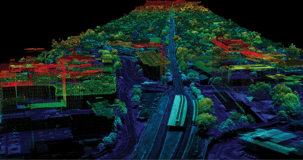
Welcome to MEC&S, your trusted partner for comprehensive GIS (Geographic Information System) solutions. We specialize in providing a wide range of geospatial services to help you unlock the power of location data for informed decision-making and successful projects. Our team of experienced GIS professionals is dedicated to delivering innovative and customized solutions. Explore our services below:
- Geographic Data Analysis:
At MEC&S, we specialize in harnessing the power of geographic data to provide insightful analysis:
- Data Collection: Gathering relevant geographic data from various sources.
- Spatial Analysis: Utilizing GIS technology to examine spatial relationships and patterns.
- Data Interpretation: Extracting actionable insights from geographic data.
- Customized Reporting: Providing clear and comprehensive reports to guide decision-making.
- Mapping and Cartography:
Our mapping and cartography services transform data into visually engaging and informative maps:
- Custom Map Creation: Developing maps tailored to your specific needs.
- Geographic Visualization: Turning data into clear, interactive maps for better understanding.
- Thematic Mapping: Representing data on maps to reveal patterns and trends.
- Map Publishing: Sharing maps in various formats for your stakeholders.
- Remote Sensing and Satellite Imagery:
We leverage the power of remote sensing and satellite imagery for various applications:
- Image Acquisition: Collecting high-resolution imagery from satellites and drones.
- Data Processing: Processing and analyzing imagery to extract valuable information.
- Environmental Monitoring: Tracking changes in land use, vegetation, and more.
- Infrastructure Inspection: Assessing the condition of infrastructure using aerial imagery.
- GIS Database Management:
Our GIS database management services ensure organized and accessible geospatial data:
- Data Integration: Combining various data sources into a centralized database.
- Data Maintenance: Regularly updating and managing GIS databases.
- Data Retrieval: Quick and easy access to relevant geospatial information.
- Data Security: Ensuring the integrity and security of your GIS databases.
Why Choose Us:
- Expertise: Our team comprises seasoned GIS professionals with a wealth of experience.
- Customized Solutions: We tailor our services to match your specific project requirements.
- Cutting-Edge Technology: We stay up-to-date with the latest GIS tools and technology.
- Precision and Accuracy: Our meticulous approach ensures accurate and reliable results.
- Client-Centric Approach: We prioritize open communication and collaboration with our clients.
At MEC&S, we understand the critical importance of GIS in today’s data-driven world. Our GIS services are designed to provide you with the insights and solutions you need to make informed decisions and enhance your projects. Partner with us to leverage the power of location data and embark on a journey of informed and successful decision-making. Contact us today to get started.
Get Started:
Ready to harness the power of GIS for your projects? Contact us today to discuss your specific requirements and receive a customized proposal.